Galehead Mountain - 4,024'
Hike Statistics
Total Distance: 10.2 miles
Elevation Gain: 2,500 feet
Hiking Time: 6 hours
Difficulty: Moderate
Season: Spring
Hiking this peak in winter? Click here!

Hike date: 06/02/2018
Description: Galehead Mountain is a part of the Twin Range. The summit itself has no views, but there is a nice viewpoint near the summit that offers some views. The route described below ascends steadily to the summit and is never too challenging. Using the below route, you will have the opportunity to visit the Galehead Hut.
Trails Used: Ascend via Gale River Trail to Garfield Ridge Trail to the Galehead Hut. From the Hut, take the Frost Trail to the summit of Galehead. Descend by turning around and going back the same way you came.
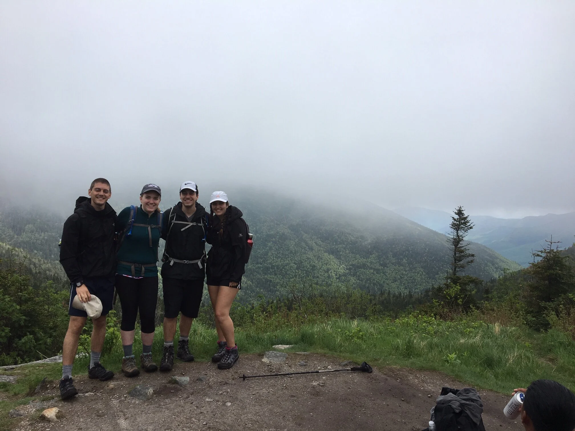
Trail Summary: The trailhead for this hike is on Gale River Loop Road. The day we did this hike, it was very foggy and wet. It created a very mystical and eerie feeling as we hiked through the woods and added to our enjoyment of the trail. The Gale River Trail climbs easily for the first 1.4 miles, mostly over roots and rocks. There are several small water crossings - some with bridges and some not - but none of them are difficult. At this point, the trail begins to climb moderately through the forest for some time. After another 1.8 miles, you’ll be above the stream and face a steeper and rougher portion of the trail. The ascent from this point to the junction becomes steep, but there are several “rock staircases” to aid you. Once at the junction with the Garfield Ridge Trail, take a left and you’ll be at the Hut in 0.5 miles. This piece of the Garfield Ridge Trail is relatively flat and easy going. Eventually, you’ll find Galehead Hut as well as a nice outlook. Galehead Hut is a great place to refill water, have a tasty homemade baked good from the Hut, and to relax a bit.

Terrain on the lower portion of Gale River Trail… lots of roots which can be slick when wet!

One of the many small stream crossings encountered on this trail

A very eerie and mystical feeling in the woods on this particular day!
After some relaxation, it’s a quick jaunt up the Frost Trail to the summit of Galehead. This trail is 0.5 miles long and climbs about 250 feet. It took us 15 minutes. The trail ascends moderately all the way to the viewless summit (marked by a cairn). There is a really nice outlook 3/4 of the way up, so make sure to stop there before visiting the wooded summit! To descend back to the Hut, go back the same way you came. Once back at the Hut, head along the Garfield Ridge Trail the same way you came and then descend down the Gale River Trail again back to the car. The descent down Gale River Trail is a moderate one; it’s never too difficult and the terrain is not bad to go down on.

View from the outlook near the Galehead Hut

Views from the lookout point that is 3/4 of the way up the Frost Trail

Gotta get the boot on the cairn for it to count!
Alternative routes:
One alternative route that we have done to summit Galehead is by including it in a traverse. As a part of an overnight backpacking trip, we did North Twin, South Twin, Galehead, and Garfield on Saturday and then Owl’s Head on Sunday. We spent the night in the backcountry, staying at the 13 Falls Tentsite. We really recommend this route as it’s a fun way to get a bunch of peaks and do a not-so-typical route for these peaks! Note that this route is a traverse, so you will need to have two cars (one for each trailhead) or use some sort of shuttle service. When you do Galehead as a part of this traverse, you just have to go up the Frost Trail to grab the summit - it is on the way from South Twin to Garfield! This route covers 25.5 miles and 7,300 feet of elevation over the course of two days. For more information about this trip, check out our report by clicking here.
Hiking Galehead Mountain in the winter

In the winter, Galehead is much more challenging as the road to the trailhead is closed for the season. The summit itself has no views, but there is a nice viewpoint near the summit that offers a nice vantage point, along with another one near the Galehead Hut.
We have a complete blog post on our experience winter hiking Galehead Mountain, which you can check out by going here!
Questions? Comments? Want to share your take on this hike? Get in touch with us using the contact page!


As experienced hikers, we always make sure that we are hiking with The Ten Essentials which include navigation, a headlamp, sun protection, first aid, a knife, shelter, extra food, water and clothes. Overtime, we have discovered some items that we always bring on our hikes and consider them to be our personal, expanded ten essentials.