
Mount Adams - 5,774'
Hike Statistics
Total Distance: 9.6 miles (with Mount Madison)
Elevation Gain: 5,060 feet
Hiking Time: 9 hours, 5 minutes
Difficulty: Difficult
Season: Summer
Hiking this peak in winter? Click here!

Hike date: 08/21/2017
Description: Mount Adams is the second highest peak in New England and offers spectacular 360 degree views across the Great Gulf and King Ravine. If you enjoy rock scrambling, this is a great hike for you as you will do plenty of that! Climbing Mount Adams requires significant elevation gain over challenging terrain. The descent is long as you are coming down from over 5,000 feet high - be prepared to feel it in your knees! Using the below route, you’ll have the opportunity to spend a significant amount of time above treeline surrounded by high peaks, visit Star Lake, visit the Madison Springs Hut, visit the Valley Way Tentsite, and summit Mount Madison.
Trails Used: Ascend via Airline Trail to Mount Adams summit, take Star Lake Trail to Madison Springs Hut (you could also take Gulfside Trail), then Osgood Trail to Mount Madison Summit. Go back to the hut then descend via Valley Way Trail.
Trail Summary: We knew we were in for a long, rough day so we got an early start at the Appalachia trail head parking lot. We took the Airline Trail all the way to the summit of Mount Adams since it is the shortest route. The first 1.5 miles or so of the trail is not too bad, rated as moderate. There are a lot of rocks and roots to scramble around. It then gets steep and rough for about 0.5 miles or so before easing back up. After about 3 miles, you will reach treeline. Up until this point, Airline has been a very steady grind up. Once above the trees, the trail continues to climb very steadily to the summit. There are a lot of large rocks (and some are loose), so paying attention to your footing is crucial to avoid an injury! Above treeline, the views are astounding! Unfortunately, we kept having clouds come in and out so we were not able to see much until later in the day. Visibility was not that great as we approached the summit, so we had to pay careful attention to the cairns in order to avoid going off trail. It is important to note that conditions above treeline can change very quickly, so you should always be aware of the weather and make sure you have the right gear with you! You are 100% exposed to all of the elements, and bail out points can sometimes be tough to get to.

A look at what a lot of the Airline Trail is like
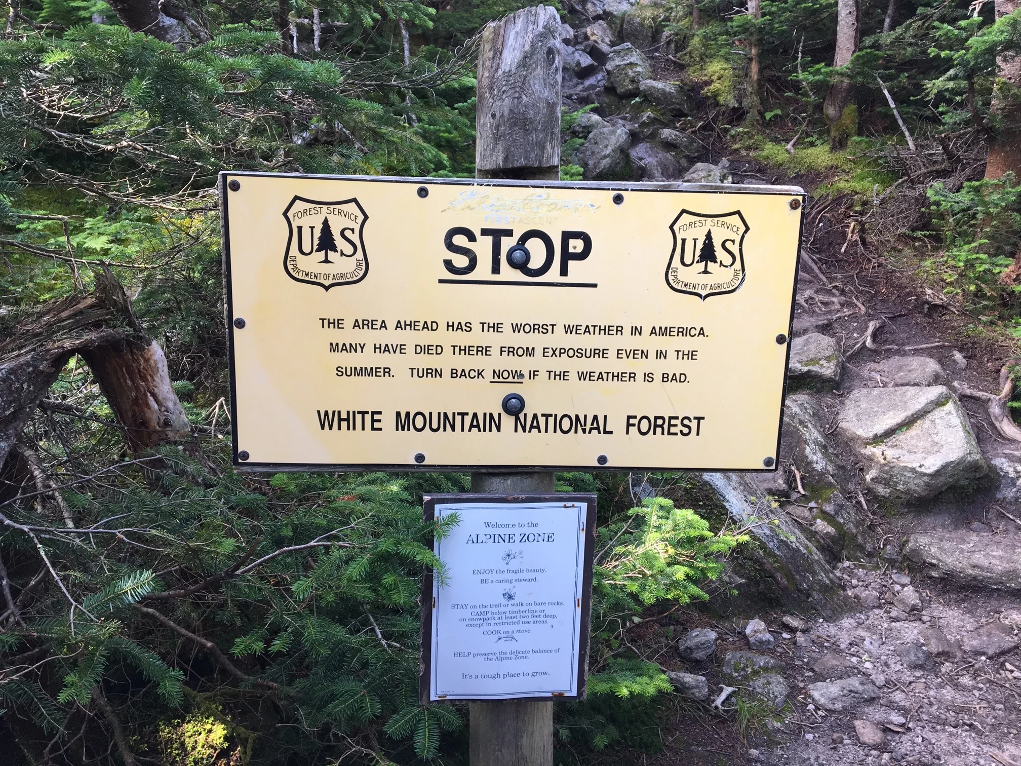
Warning before breaking out of treeline. Very dangerous in bad weather!

Looking up towards the summit of Mount Adams

Making our way up and over the large boulders above treeline
After having a snack at the Mount Adams summit and enjoying the non-existent views due to the fog (we will have to go back!), we made our way down the Star Lake Trail to head towards the Madison Springs Hut. This trail was extremely rough and very steep, especially the first section once descending from the summit. There was a lot of large rocks that we had to hop down, as well as a lot of scrambling down rocks. At times, the trail got difficult to follow, especially with the conditions we were in. We took our time and carefully worked our way down towards the hut. For an alternative “easier” route over to Madison, you can take the Gulfside Trail which is much less aggressive. As we were heading down, the clouds began to break and it opened up views of Star Lake and Mount Madison - quite an awesome sight to see! We got to the hut and ate lunch so that we could be fueled up and ready to go for our ascent up to Madison’s summit.

Looking towards Star Lake and Mount Madison

Relaxing and enjoying the views from the summit of Mount Madison

Views to the south from the summit of Mount Madison
After our break, we began the climb up the Osgood Trail to the Mount Madison summit on tired legs. Luckily, we only had to ascend about 500 feet from the hut to the summit. Like the rest of the trails thus far, it is a pretty steep trail up to the summit. After pushing our way to the summit, we got to enjoy the amazing 360 degree views. We then retraced our steps back down the Osgood Trail to the Hut where we then took the Valley Way Trail all the way back to the car. The first 0.5 miles of this trail are steep and rough since you are climbing down boulders above treeline. Once back in the trees, the trail descends at a very consistent moderate grade all the way. You will pass Valley Way Tentsite in 0.5 miles, where you will then continue your descend at a comfortable decline for another 3.2 miles until you return back to the Appalachia trailhead. While there is significant elevation gain involved in this loop hike, the views from above treeline are absolutely spectacular and well worth the effort required.

Getting closer to the summit! Victory is near!
Alternative routes:
We have not yet done any alternative routes to the summit of Mount Adams. This page will be updated once we have!
Hiking Mount Adams in the winter

We have not yet climbed Mount Adams in the winter, but once we do, we will update this page with our full report!
Questions? Comments? Want to share your take on this hike? Get in touch with us using the contact page!


As experienced hikers, we always make sure that we are hiking with The Ten Essentials which include navigation, a headlamp, sun protection, first aid, a knife, shelter, extra food, water and clothes. Overtime, we have discovered some items that we always bring on our hikes and consider them to be our personal, expanded ten essentials.