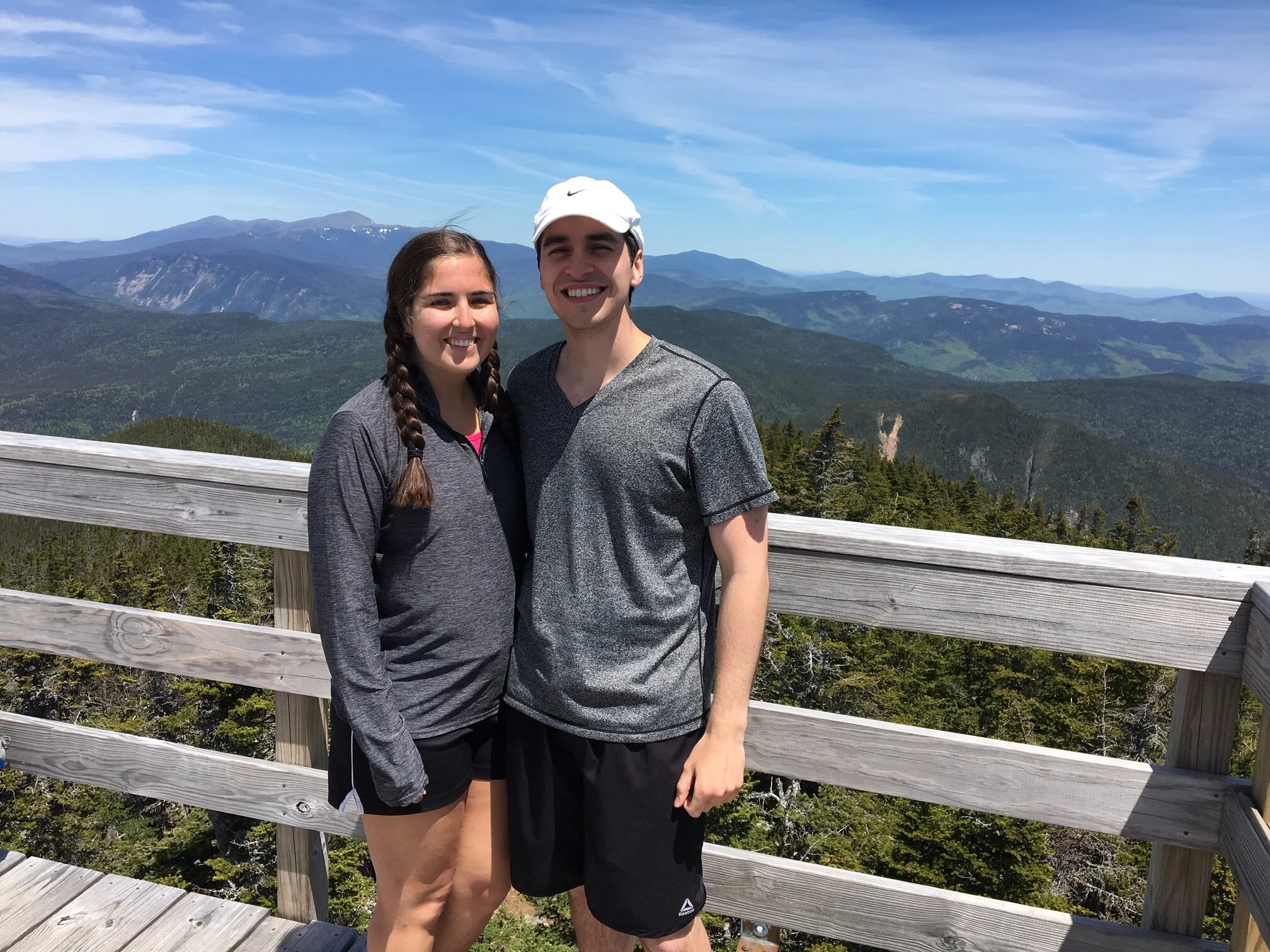
Mount Carrigain - 4,700'
Hike Statistics
Total Distance: 10 miles
Elevation Gain: 3,400 feet
Hiking Time: 5 hours, 45 minutes
Difficulty: Moderate
Season: Spring
Hiking this peak in winter? Click here!
Hike date: 06/08/2019
Description: Mount Carrigain borders the Pemigewasset Wilderness and offers incredible views of the surrounding mountains from the fire tower on its summit. The route described below is a simple in and out that ascends steadily to the summit and is never too challenging. Using the below route, you will have the opportunity to stroll along Carrigain Brook and soak in the 360 degree views from the summit fire tower.
Trails Used: Ascend via Signal Ridge Trail to the summit of Mount Carrigain. Descend by turning around and going back the same way you came.
Trail Summary: This is a very straightforward and simple hike since you take the same trail to the summit and back to the car. The trailhead for this hike can be found about half way down Sawyer River Road. Keep an eye out for the sign that says “Signal Ridge Trailhead”!
The trail starts across the road from the parking area and heads right into the woods. The first 2 miles of this trail are basically flat, with one section of moderate elevation gain, so it goes very quick. The lower portion of the trail follows the Whiteface Brook for a while before diverging left into the woods. At the 1.7 mile mark, you will cross the Carrigain Brook which is a fairly easy crossing to make. After another 0.3 miles, you’ll come to a junction with the Carrigain Notch Trail, where you’ll want to go left. There is a small brook crossing shortly after the junction but it is nothing to worry about.
At this point, the trail begins to ascend, but very gradually. The trail continues to rise steadily with the moderate grades until you come to Signal Ridge, an area with cliffs that offer amazing views. From this point, you can also look up and see the amount Carrigain summit tower which still feels so far away. It’s about 0.5 miles and 300 feet in elevation to get to the tower, in which the trail climbs relatively steeply to the top. Climb to the top of the observation tower and you’ll get to experience extraordinary panoramic views. To get back to the car, return the same way you came up. While there is 3,400 feet of elevation gain, the trail is fairly gradual and never too sketchy in terms of terrain.
The beginning of our fun trip up the Signal Ridge Trail
Enjoying the view from a lookout just below the summit of Mount Carrigain
Looking northeast from the summit fire tower with Vose Spur close by. You can see the Presidentials in the distance
Enjoying the expansive views from the Mount Carrigain fire tower
Looking back down towards Signal Ridge… this is where we came from
Enjoying this perfect day with some our friends
Alternative routes:
We have not yet done any alternative routes to the summit of Mount Carrigain. This page will be updated once we have!
Hiking Mount Carrigain in the winter
We have not yet climbed Mount Carrigain in the winter, but once we do, we will update this page with our full report!
Questions? Comments? Want to share your take on this hike? Get in touch with us using the contact page!


As experienced hikers, we always make sure that we are hiking with The Ten Essentials which include navigation, a headlamp, sun protection, first aid, a knife, shelter, extra food, water and clothes. Overtime, we have discovered some items that we always bring on our hikes and consider them to be our personal, expanded ten essentials.