Mount Moriah - 4,049'
Hike Statistics
Total Distance: 9.0 miles
Elevation Gain: 3,400 feet
Hiking Time: 6 hours, 50 minutes
Difficulty: Moderate
Season: Summer
Hiking this peak in winter? Click here!
Hike date: 09/21/2019
Description: Mount Moriah is a part of the Carter-Moriah Range and has nice views looking towards the Presidentials and Carters from its exposed summit. The route described below is a simple in and out that ascends steadily to the summit and makes for a nice moderate hike. Using the below route, you will have the opportunity to visit the summit of Mount Surprise and enjoy 360 degree views atop Mount Moriah.
Trails Used: Ascend via Carter-Moriah Trail to the summit of Mount Moriah. Descend by turning around and going back the same way you came.
Trail Summary: This is a very straightforward and simple hike. The route below is an in-and-out route to the summit of Mount Moriah using the Carter-Moriah Trail. The trailhead for this hike is at the end of Bangor Street in Gorham (a residential neighborhood). You can park on the left side of the road where there are no houses. Alternatively, if there is no room, you can park a bit up the road at the clearing near the power lines. If that area is full, you can use the public parking in Gorham and then walk to the trailhead (usually you won’t have to do this).
The Carter-Moriah Trail immediately starts out by climbing a steep bank before winding easily to moderately through the woods. This part of the trail is very open (due to logging) and the trail offers minimal rocks or roots. After hiking for 2 miles, you will cross over the summit of Mount Surprise. There is a small ledge on your right that has some partially obstructed views of the Presidential Range. After Mount Surprise, the trail descends breifly before starting to ascend gradually. This is short-lived though, as the trail will begin to climb steeper as it goes over a series of ledges (which have phenomenal views of the Presidential Range). Use caution if these ledges are wet, as it could be pretty slippery! The trail continues to climb moderately after the ledges, with many “bumps” in the trail, creating a lot of minor ups and downs. About 0.3 miles away from the summit, you can see Moriah’s summit through the trees (and it looks far away!). The upper portion of the trail will continue to climb at a steep grade over rough and rocky terrain. Eventually, you will come to a sign that marks the spur path to Mount Moriah’s summit. After a quick climb, you will be at the exposed and ledgy summit of Mount Moriah, which offers excellent views in all directions. After enjoying the summit for a bit, head back down the spur path back to the junction with the Carter-Moriah Trail. Take a left here and return back to the trailhead by descending the same way you came up.
The sign on Bangor Street, marking the start of the Carter-Moriah Trail
The trail climbs steeply briefly after immediately starting out
Some random junk in the woods along the trail. What even is this!?
Typical terrain on the lower portion of trail; gentle grades and little rock
The view from the summit of Mount Surprise
Starting to head up the ledge section
The excellent view of the Presidential Range from the top of the ledge section
After the ledges, the trail really starts to climb at a steep grade and over rough terrain
Be ready for lots of slab, rocks, and roots!
The Carter-Moriah Trail climbs at a very consistent grade past the ledges all the way to the summit
The sign marking the summit spur path
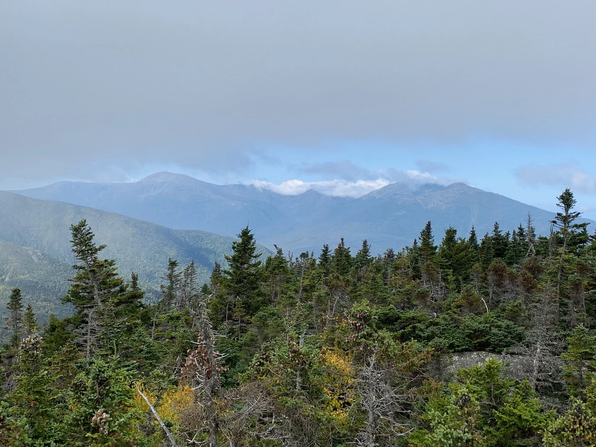
Though the clouds were coming in and out, we still got nice views of the Presidential Range!
As you come down from the summit spur path, make sure you take a left here to descend the same way you came up!
Alternative routes:
One alternative route that we have done to summit Mount Moriah is by including it in a traverse. As a part of a Carter-Moriah Traverse (an overnight backpacking trip), we did Carter Dome, South Carter, and Middle Carter on the first day then Mount Moriah the next day. We spent the night in the backcountry, staying at the Imp Tentsite. We really recommend this route as it’s a fun way to get a bunch of peaks and see some incredible views! Note that this route is a traverse, so you will need to have two cars (one for each trailhead) or use some sort of shuttle service or hitch hike. When you do Moriah as a part of this traverse, you will take the Carter-Moriah Trail and approach Mount Moriah from the south (as opposed to approaching it from the north as described above). This route covers 16.5 miles and 5,225 feet of elevation over the course of two days. For more information about this trip, check out our report by clicking here.
Hiking Mount Moriah in the winter
We have not yet climbed Mount Moriah in the winter, but once we do, we will update this page with our full report!
Questions? Comments? Want to share your take on this hike? Get in touch with us using the contact page!


As experienced hikers, we always make sure that we are hiking with The Ten Essentials which include navigation, a headlamp, sun protection, first aid, a knife, shelter, extra food, water and clothes. Overtime, we have discovered some items that we always bring on our hikes and consider them to be our personal, expanded ten essentials.