
Mount Tecumseh - 4,003'
Hike Statistics
Total Distance: 4.9 miles (6.1 miles if you take Sosman Trail to the top of the ski slopes for more views)
Elevation Gain: 2,140 feet
Hiking Time: 3 hours, 25 minutes
Difficulty: Easy
Season: Fall
Hiking this peak in winter? Click here!
Hike date: 11/15/2018
Description: Mount Tecumseh is the shortest official 4,000 footer and home to Waterville Valley Ski Area. The summit has views to the north towards the Osceolas and to the east towards the Tripyramids. The route described below is a simple in and out that ascends steadily to the summit and makes for a nice and easy hike. Using the below route, you will have the opportunity to explore Waterville Valley Ski Area and enjoy views from a summit outlook.
Trails Used: Ascend via Mount Tecumseh Trail to the summit of Mount Tecumseh. Descend by turning around and going back the same way you came.
Trail Summary: The route described below begins at the Waterville Valley Ski Area. The trailhead for the Mt. Tecumseh Trail is all the way at the front of the parking lot and way over to the right of the lodge. As soon as you enter the woods, you’ll immediately cross a small brook. The first mile or so of this trail climbs at a gentle grade through the forest and is never too challenging. The terrain is mostly dirt mixed with some rocks and roots. At 1.1 miles from the trailhead, you’ll come to a nice view from a lookout at the edge of the ski slope. We always think it’s so fascinating to see ski slopes in the summer time - the abandoned look is so different than the lively activity found in winter.
After enjoying the view for a bit, it’s time to really gain some elevation! At this point, the trail climbs very steadily following rocky terrain all the way to the main ridge. In 1.1 miles from the last viewpoint, you’ll reach the junction with the Sosman Trail on the left. In another 100 yards, you’ll come to a split where the Sosman Trail goes left and the Mt. Tecumseh Trail goes right. Both routes lead to the summit and form a small loop, so we chose to go up the Mt. Tecumseh Trail to the summit and then came down using Sosman Trail. The Mt. Tecumseh Trail heads to the right and it is a short and steep climb to the summit over rocky terrain. The summit of Mount Tecumseh has a small outlook that offers some limited views to the east. If you’re going to take Sosman Trail down, make sure you pay attention to the trail sign at the summit (the Mt. Tecumseh Trail continues onward towards Tripoli Road, which means you’ll end up going down the other side of the mountain). Of course, you could also follow Mt. Tecumseh Trail back the same way you came up instead of taking Sosman Trail down which forms a loop.
We followed Sosman Trail off the summit, so it was 0.2 miles back to the junction with the Mt. Tecumseh Trail. This portion of the trail drops quickly and has rough footing. At this point, you have two options to descend. You can descend the same way you came up by using the Mt. Tecumseh Trail or you could venture down the Sosman Trail to the top of the ski slopes and descend that way. We went down the Sosman Trail to enjoy the views from the top of the ski slopes, but then went back to the Mt. Tecumseh Trail. The Sosman Trail is basically flat as you walk 0.6 miles to the top of the ski slopes. We didn’t want to descend the ski slopes just because the grass was really tall and we weren’t too sure how the footing would be. If you’re feeling adventurous, descending this way on the slopes is about 1.2 miles and about 2,000 feet of descent back to the ski area. As mentioned, we went out to enjoy the views then went back to the Mt. Tecumseh Trail to descend, which was a nice moderate descent.

Sign at the trailhead at the right of the first parking lot

Small river crossing immediately after starting

At the next river crossing, make sure to go right (see yellow arrow above)

Typical terrain on the lower portion of the trail: lots of rock steps and moderate grades

After a small decent, you’ll cross this river then ascend to the viewpoint

Viewpoint from the side of the ski slopes

After the viewpoint, the “stair master” begins!

The junction that forms the summit loop. Left is Sosman Trail and right is Mount Tecumseh Trail

Looking towards the Osceolas from the summit

Looking at the Tripyramids from the summit

Make sure you do not take Mount Tecumseh Trail towards Tripoli Road - you will end up on the other side of the mountain!

The junction with the Sosman Trail that goes to the top of the ski slopes for additional views
Alternative routes:
We have not yet done any alternative routes to the summit of Mount Tecumseh. This page will be updated once we have!
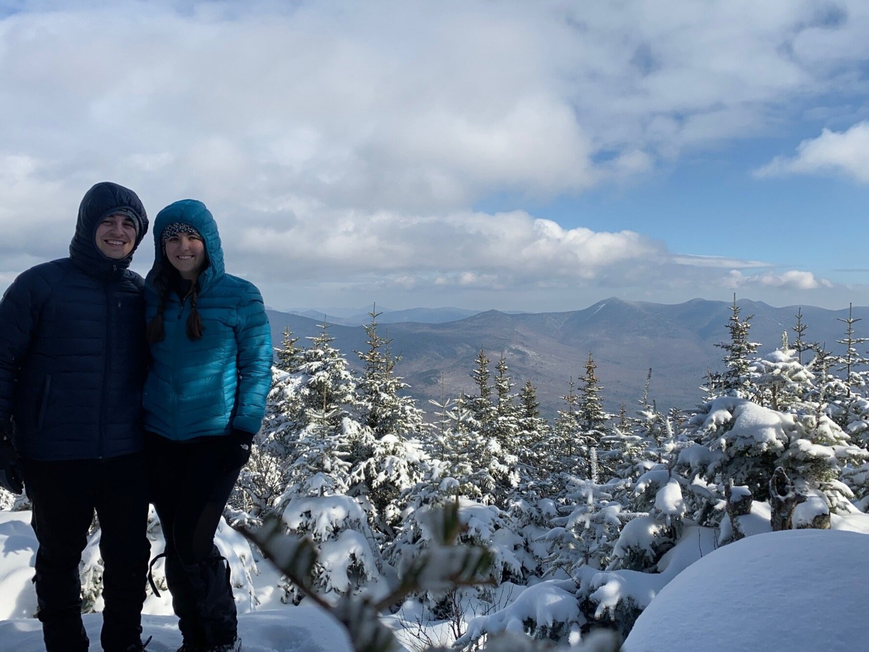
Hiking Mount Tecumseh in the winter

Mount Tecumseh is a great starter for those new to winter hiking! The most common way to hike Mount Tecumseh in the winter is from the Waterville Valley Ski Area because Tripoli Road is closed in winter, so you cannot access the mountain from that side (unless you want to deal with a road walk).
We have a complete blog post on our experience winter hiking Mount Tecumseh, which you can check out by going here!
Questions? Comments? Want to share your take on this hike? Get in touch with us using the contact page!


As experienced hikers, we always make sure that we are hiking with The Ten Essentials which include navigation, a headlamp, sun protection, first aid, a knife, shelter, extra food, water and clothes. Overtime, we have discovered some items that we always bring on our hikes and consider them to be our personal, expanded ten essentials.