
Mount Pemigewasset - 2,557'
Hike Statistics
Total Distance: 3.6 miles
Elevation Gain: 1,250 feet
Hiking Time: 2 hours, 45 minutes
Difficulty: Moderate
Season: Summer
Hiking this peak in winter? Click here!

Hike date: 08/15/2020
Description: Mount Pemigewasset is a short and scenic hike, making it a popular hiking destination. From the main ledges of the summit, you’ll be able to see parts of the Kinsman Range, Mount Moosilauke looming in the distance, Mount Wolf (a former 52 WAV peak), and many smaller peaks. Mount Tecumseh and Mount Osceola are also visible from another vantage point. A restricted view towards Franconia Ridge can be seen through the trees at the true summit.
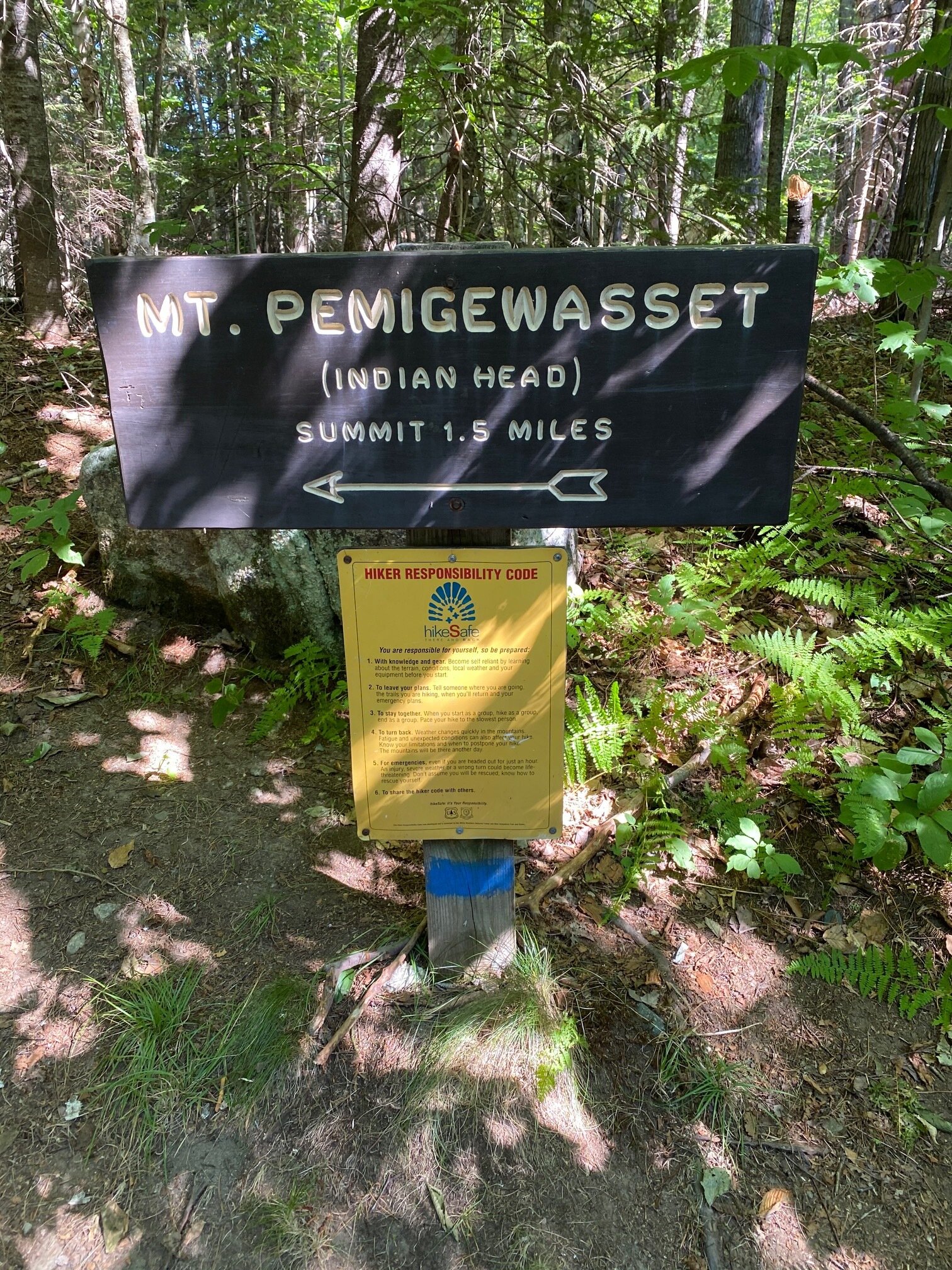
Trails Used: Ascend via Mt. Pemigewasset Trail to the summit of Mount Pemigewasset. Descend by turning around and going back the same way you came.
Trail Summary: This is a very straightforward and simple hike since you take the same trail to the summit and back to the car. The trailhead for this hike can be found at the Flume Visitor Center parking area. You’ll want to park on the northern side of the lot (over to the left when you turn in) so that you’re close to the trailhead. From the parking lot, you’ll follow the bike path for 150 yards until you come to a sign marking the trailhead - take a left here. For the next 0.4 miles, you’ll go through 3 tunnels (one that goes under Route 3 and two that go under 1-93) before reaching the woods. Don’t expect this part of the hike to be peaceful - all of the vehicles passing by above take away from that!
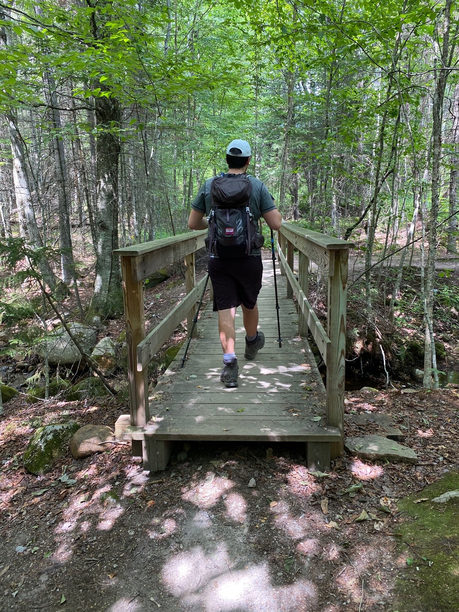
After the final tunnel, the trail will begin ascending at an easy grade. You’ll come to a nice plank bridge (these are Emily’s favorite!) that crosses over a stream. After the crossing, the trail climbs at a nice moderate grade all the way to the summit on very well maintained trails. We loved all of the rock stairs we encountered on the way - it was obvious to us that volunteers have spent a lot of time on these trails, something we’re thankful for! Eventually, you’ll reach a junction with the Indian Head Trail and then it’s a quick 0.1 miles to the summit ledges. When you first come out of the trees, you’ll immediately be at the top of a cliff with a very large drop off below you, so be aware of that!
While the ledges have fantastic views, make sure to continue following the blue blazes left into a wooded area to reach the true summit (there is a “turn around” arrow here to let you know you’ve made it to the high point - see photos below). From the true summit, you can see Mount Liberty and Mount Flume partially visible through the trees. As you backtrack to the main ledges, you’ll come to a vantage point where Mount Osceola and Mount Tecumseh are visible. We actually had our snacks here because it was away from the crowds. From the main ledges, you’ll see the end of the Kinsman Range, Mount Wolf, Mount Moosilauke, and many other smaller peaks towards the south. After enjoying the views, you’ll simply head back the same way that you came up! This is definitely a peak that we will be revisiting again during the peak foliage!
The beginning of our fun trip up to the summit of Mount Pemigewasset
The first part of the trail takes you to the base of the mountain on easy trails

You’ll cross under three bridges (the main roads) to get to the base of the mountain

We love crossing plank (it’s Emily’s favorite), though this one was wobbly!

The trail climbs moderately most of the way and uses lots of nice rock stairs
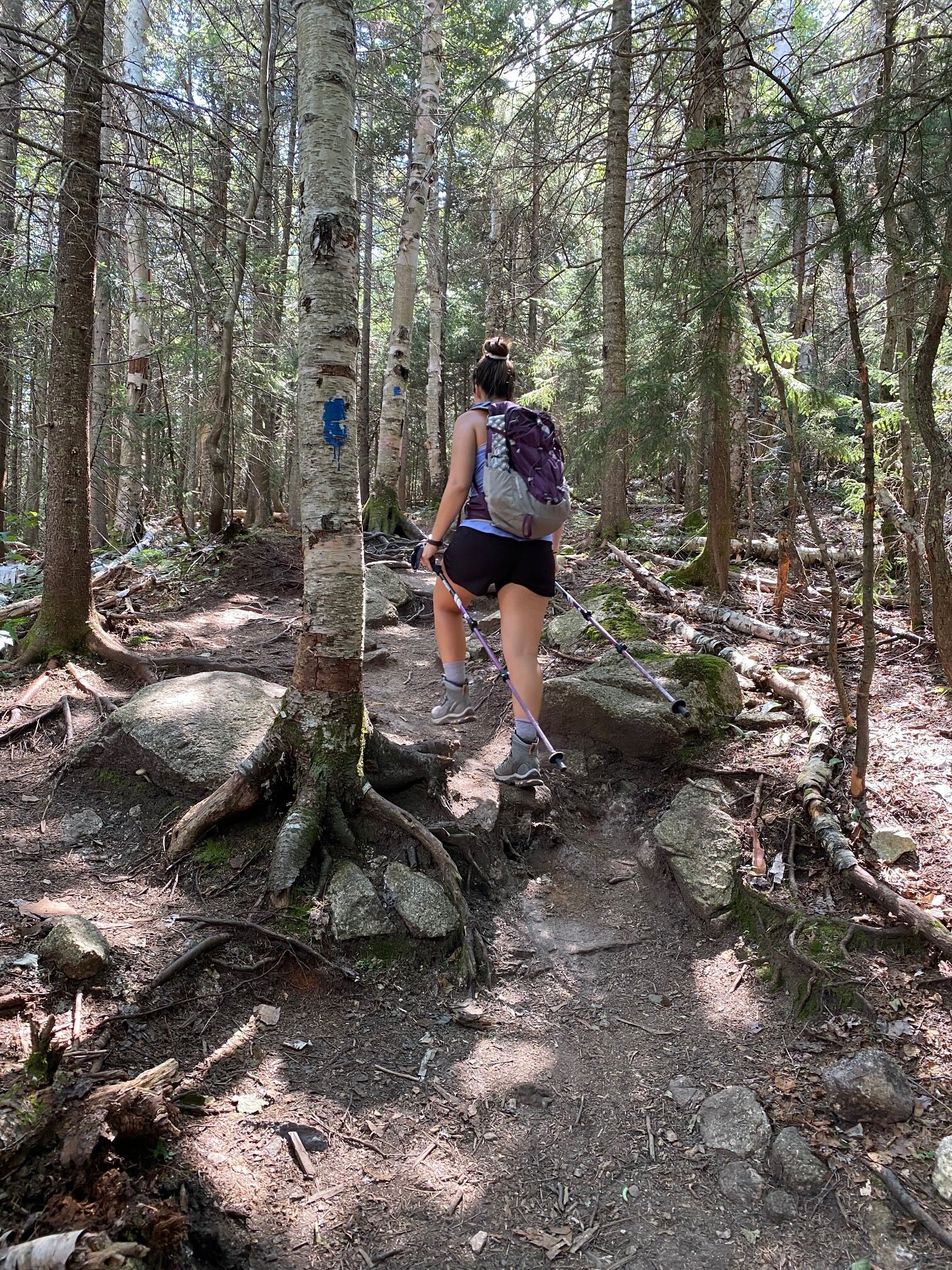
Nearing the summit, the forest comes a bit denser - different from lower on the trail!

Looking towards Mount Wolf, Mount Moosilauke, and some smaller peaks

Looking towards Mount Tecumseh, Scar Ridge, and Mount Osceola

This arrow marks the true summit of Mount Pemigewasset; make sure you go all the way here!
Alternative routes:
We have not yet done any alternative routes to the summit of Mount Pemigewasset. This page will be updated once we have!
Hiking Mount Pemigewasset in the winter

We have not yet climbed Mount Pemigewasset in the winter, but once we do, we will update this page with our full report!
Questions? Comments? Want to share your take on this hike? Get in touch with us using the contact page!


As experienced hikers, we always make sure that we are hiking with The Ten Essentials which include navigation, a headlamp, sun protection, first aid, a knife, shelter, extra food, water and clothes. Overtime, we have discovered some items that we always bring on our hikes and consider them to be our personal, expanded ten essentials.